The USGS’s EarthExplorer user interface is home to millions of declassified satellite images from the 1960’s 1970’s, and 1980’s of locations all around the world. While it may sound like this is something that might be prohibited, but don’t worry, the US government released all of these images to be publicly accessible and free to use.
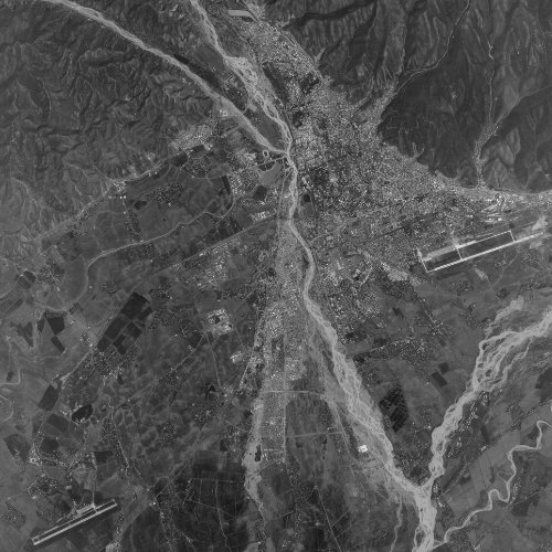
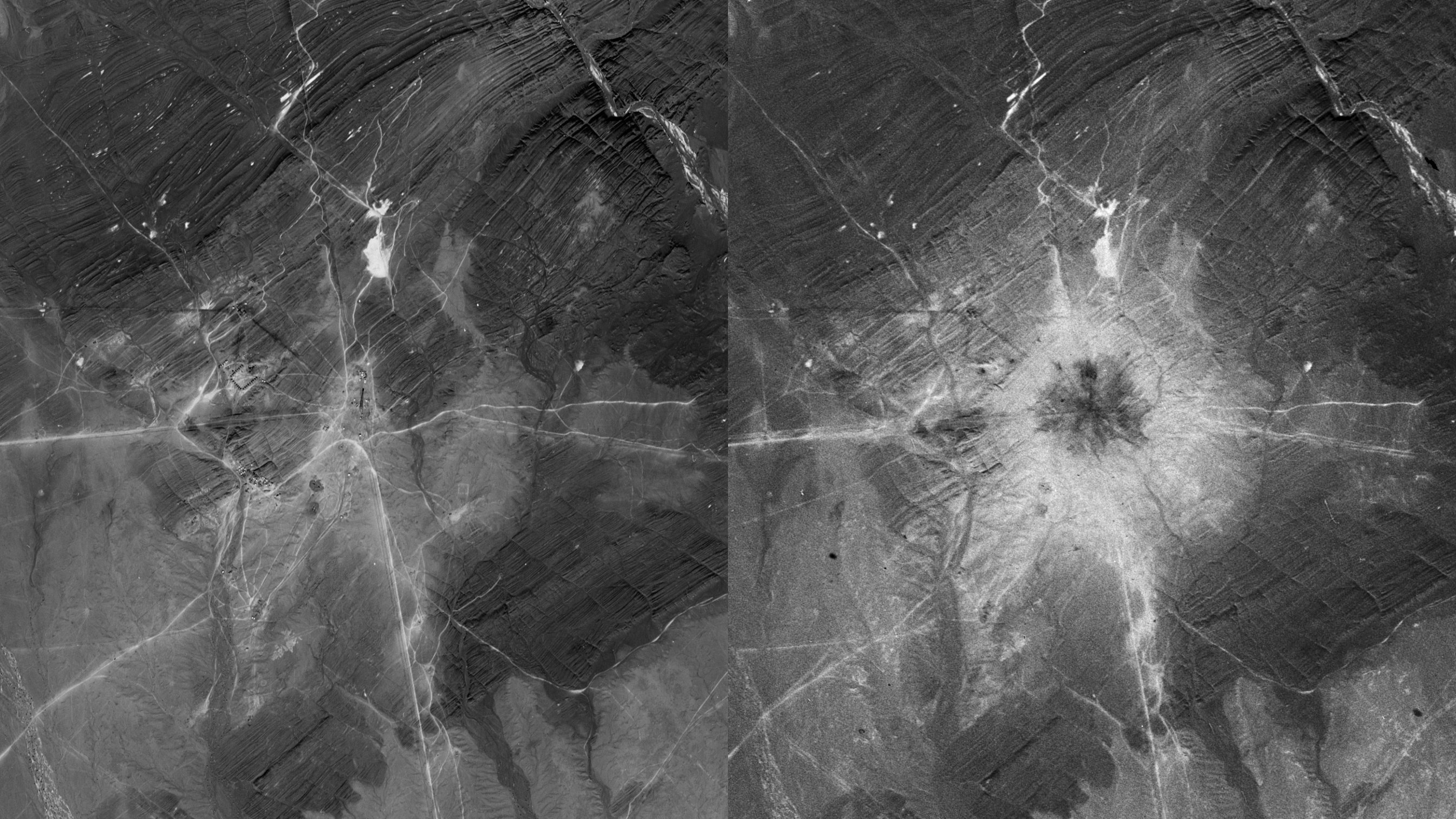
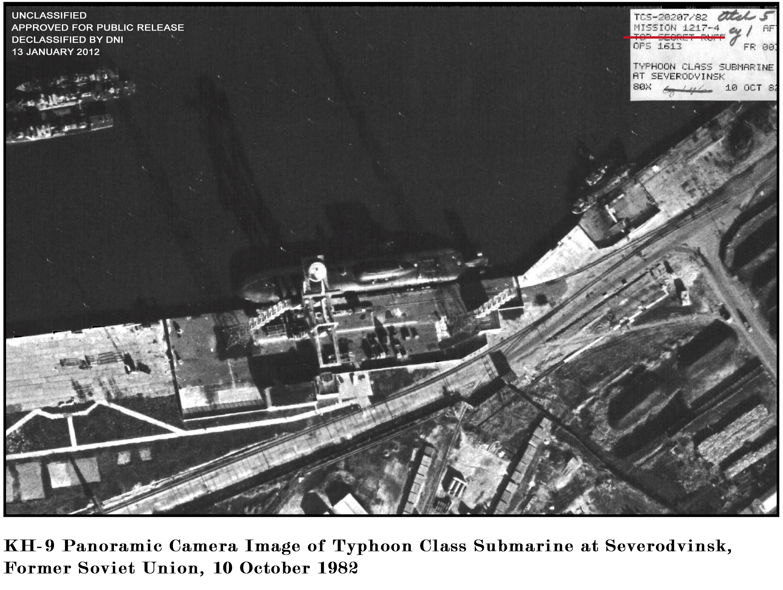
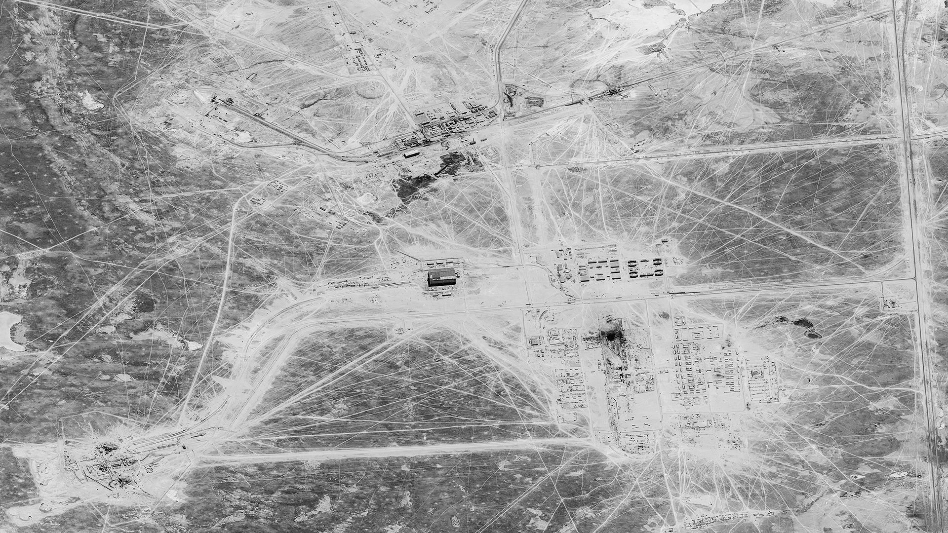
These images provide a fascinating historical perspective of the world from a time before commercial satellite imagery, as well as in locations not accessible to aerial imagery programs. I even have a gallery of images I’ve manually processed on my website: https://spacefromspace.com/declassified-satellite-images. Or use the map view for an even easier search: https://spacefromspace.com/declassified-satellite-map-search.
Below I will give a quick step-by-step guide on how to download these images for free, and even get new images scanned for a small fee.
EarthExplorer
Head to https://earthexplorer.usgs.gov/. You’ll need an account if you don’t already have one. It’s completely free to make an account and you don’t get spammed with emails (yay!)

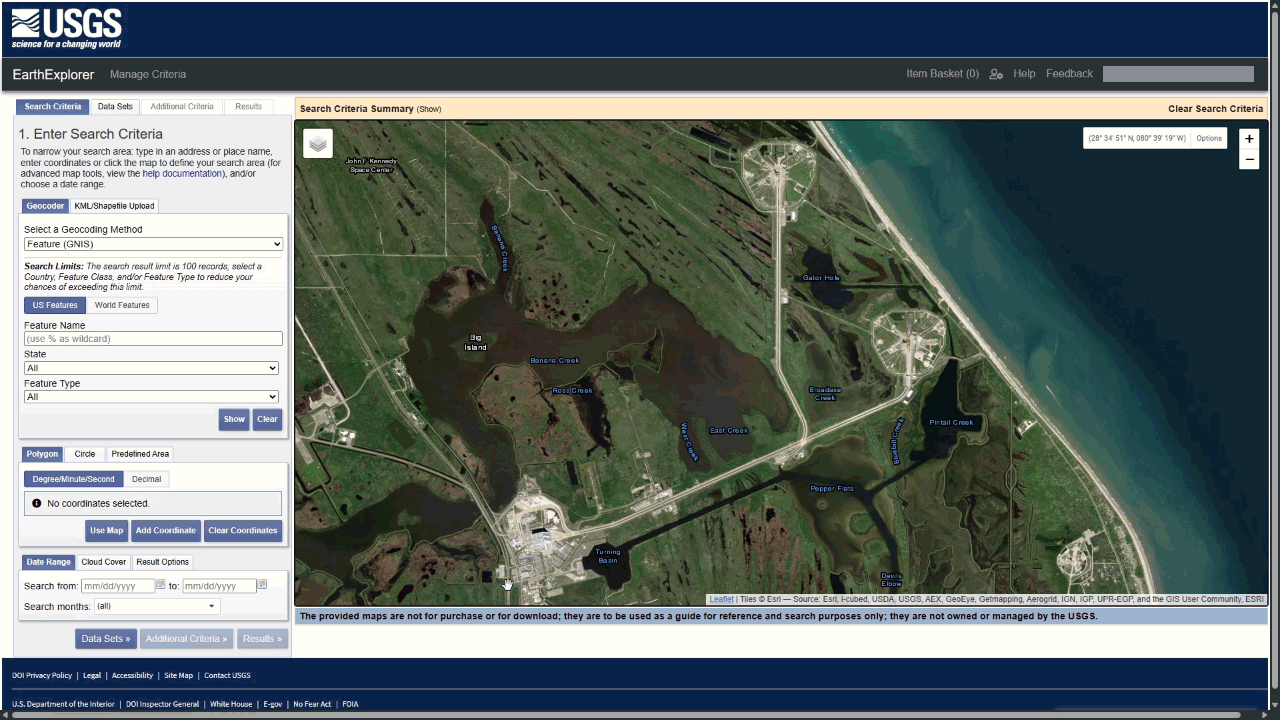
Select your area of interest
There are multiple ways to select the area of interest that you’re after.
-
Zoom to the location that you’re interested in and select ‘Use Map’. This will use select the area that’s displayed on your screen.- You can simply click on the map where you would like to draw your area.- There are multiple other ways to search including uploading a Shapefile, searching by a feature, and even manually inputting coordinates.
-
Clicking on the map to draw an area of interest. Select Dataset In the ‘Data Sets’ tab there are 20 categories to search through, with many more subcategories. When it comes to downloading the declassified satellite imagery that we’re after, select the Declassified Data option. Here we have three options to choose from, Declass 1, Declass 2, and Declass 3. Each of these datasets covers a different timeframe and offers different resolution images. To save time I’ll link info pages on each of these datasets below:
-
Declass 1: https://www.usgs.gov/centers/eros/science/usgs-eros-archive-declassified-data-declassified-satellite-imagery-1- Declass 2: https://www.usgs.gov/centers/eros/science/usgs-eros-archive-declassified-data-declassified-satellite-imagery-2- Declass 3: https://www.usgs.gov/centers/eros/science/usgs-eros-archive-declassified-data-declassified-satellite-imagery-3 NOTE: You can also use this great free tool by Jon Engelsman to filter what images are available over different parts of the world during different missions and timeframes: https://keyhole.engelsjk.com/

Additional Criteria
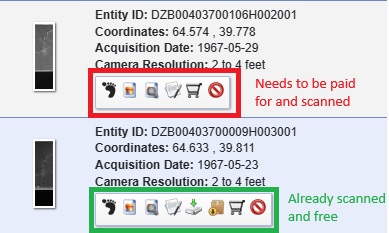
Once you’ve selected the dataset you want to search you can use the ‘Additional Criteria’ tab to narrow down your search if you want to. These filters allow you to be as specific as searching for certain Entity (Image) ID, Mission Number, Operations Number, or more vaguely by the camera’s resolution, and most helpfully if the image is already free to download. Once you’ve added any of the additional criteria filters to your search you can then move to the Results tab.
Search Results
On the Results tab you will see all of the images that fit your search criteria. Here you can choose which image or images you would like to download. If the image has already been scanned you will see a button which allows you to freely download the full image. But if the image hasn’t been scanned yet you will have to submit an order to have the film manually processed.
Placing an Order
If you do need to scan the image, you’re interested in you firstly need to be aware of the fact that there is a fee of $30 USD per image, plus a single $5 USD handling fee per order.
To begin your order, select the shopping cart button on the image you’re interested in. This will add the image to your Item Basket along the top of the interface. Once you have the image or images you’re interested in added to your basket you can then click on the Item Basket.
Select ‘Start Order’ under On-Demand Processing, and then the downward facing arrow. Finally select ‘Submit Product Selections’ to submit your order.
After completing these steps, you should receive a confirmation email from the USGS. One or two working days later, you’ll receive an Earth Explorer Order Summary with an invoice and instructions on how to pay the invoice. Once paid, the scanning process can take anywhere from one to three weeks from the payment date, based on my experience.