Historic & Modern Archives

Satellite Imagery
of Our Home.

Explore free historic cold war era declassified satellite photographs, high-resolution spaceport imagery, and aerial images.

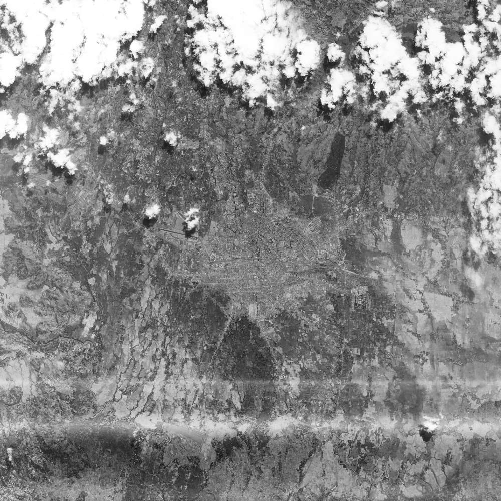
Navigate the Global Archive

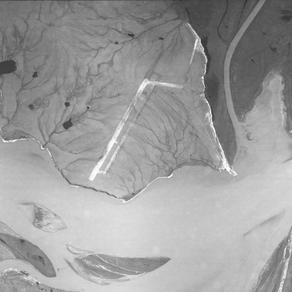
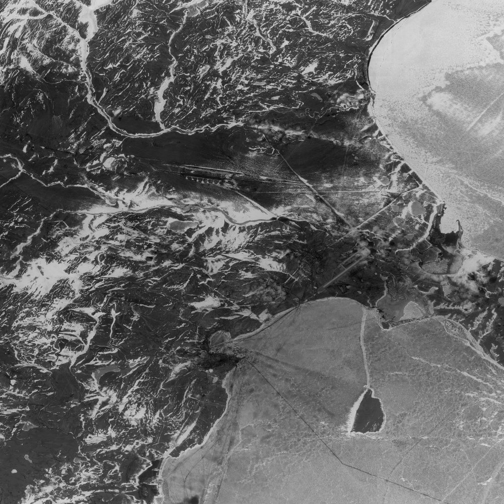
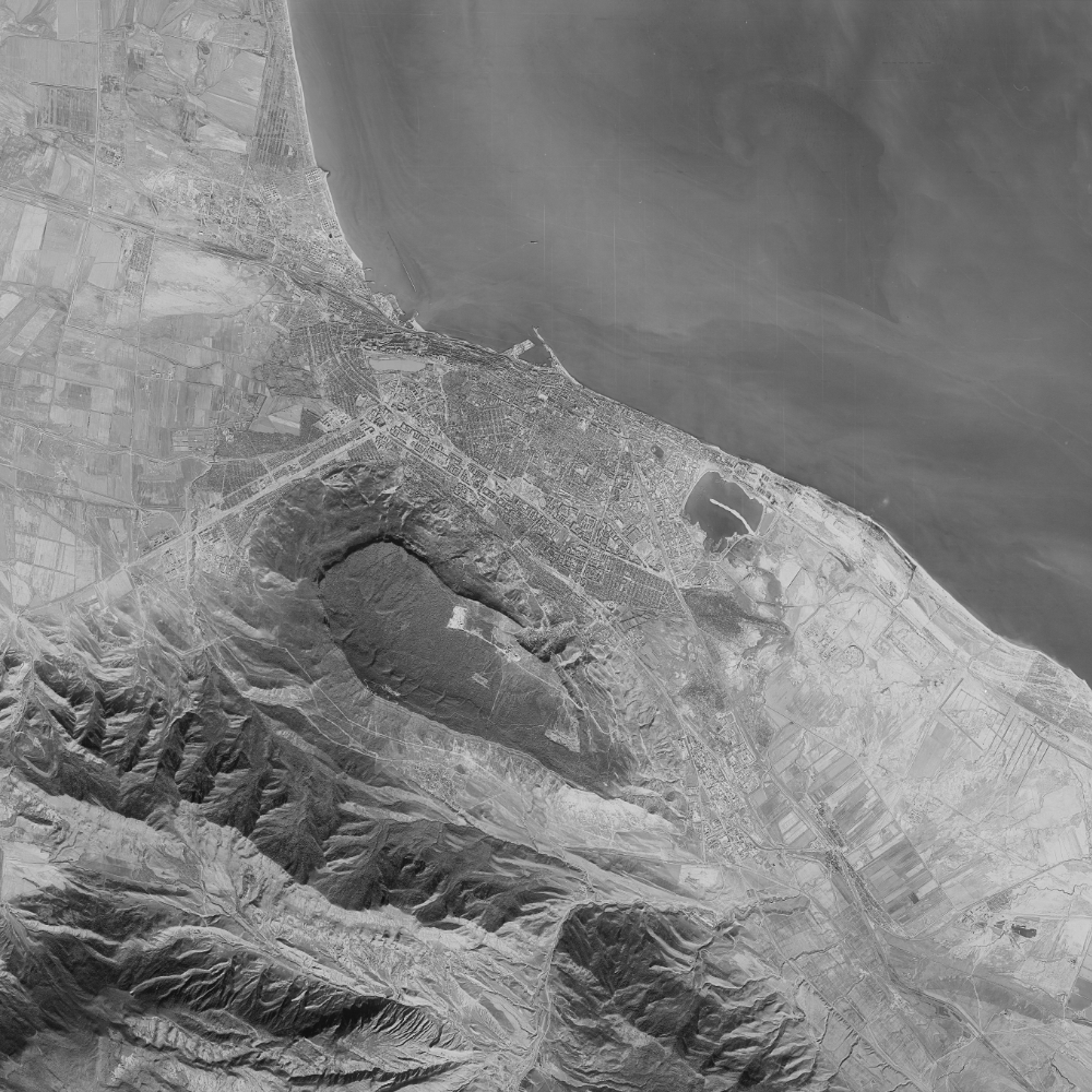
Explore an extensive collection of historic reconnaissance photography through a modern, interactive interface. Each scene has been carefully stitched and georeferenced from raw USGS datasets to map perfectly onto the modern globe.

Open Map Explorer
Interactive Map Search Interface

A note from Harry

I started SpaceFromSpace because I wanted to make historical satellite photography genuinely easy to explore, not buried in government archives.

Every image on this site has been individually sourced, processed, and georeferenced. The archive has grown to over 1,000 images across 90+ countries.

If you find it useful, supporting the project is the most direct way to help it grow.

Support SpaceFromSpace
1,000+ Satellite images
90+ Countries covered
1 Person building it

Recently Added

The latest declassified imagery added to the archive.

Al Hudaydah, Yemen

Al Hudaydah, Yemen

1965-05-29 KH-7
Galway, Ireland

Galway, Ireland

1966-05-15 KH-7
Kathmandu, Nepal

Kathmandu, Nepal

1967-02-05 KH-7
Makkah, Saudi Arabia

Makkah, Saudi Arabia

1967-02-05 KH-7
View All Images