If you’re in the GIS or OSINT world, you probably know the classic: “Where can I get high-res multispectral for free?” and the conversation disappears into a black hole of broken links and outdated portals. And don’t get more wrong, the data there can be great.
Government satellite programs such as Landsat and Sentinel have been giants in this realm for a long time now, and the data is incredible, but at 15-meter and 10-meter resolution, it’s not perfect for every use case. But now in 2026, there are more commercial open data providers than ever before and hopefully that list will only continue to grow.
Here is your 2026 Master List of open satellite data. Bookmark it, share it, and get more companies to follow this trend.
Vantor (Maxar)
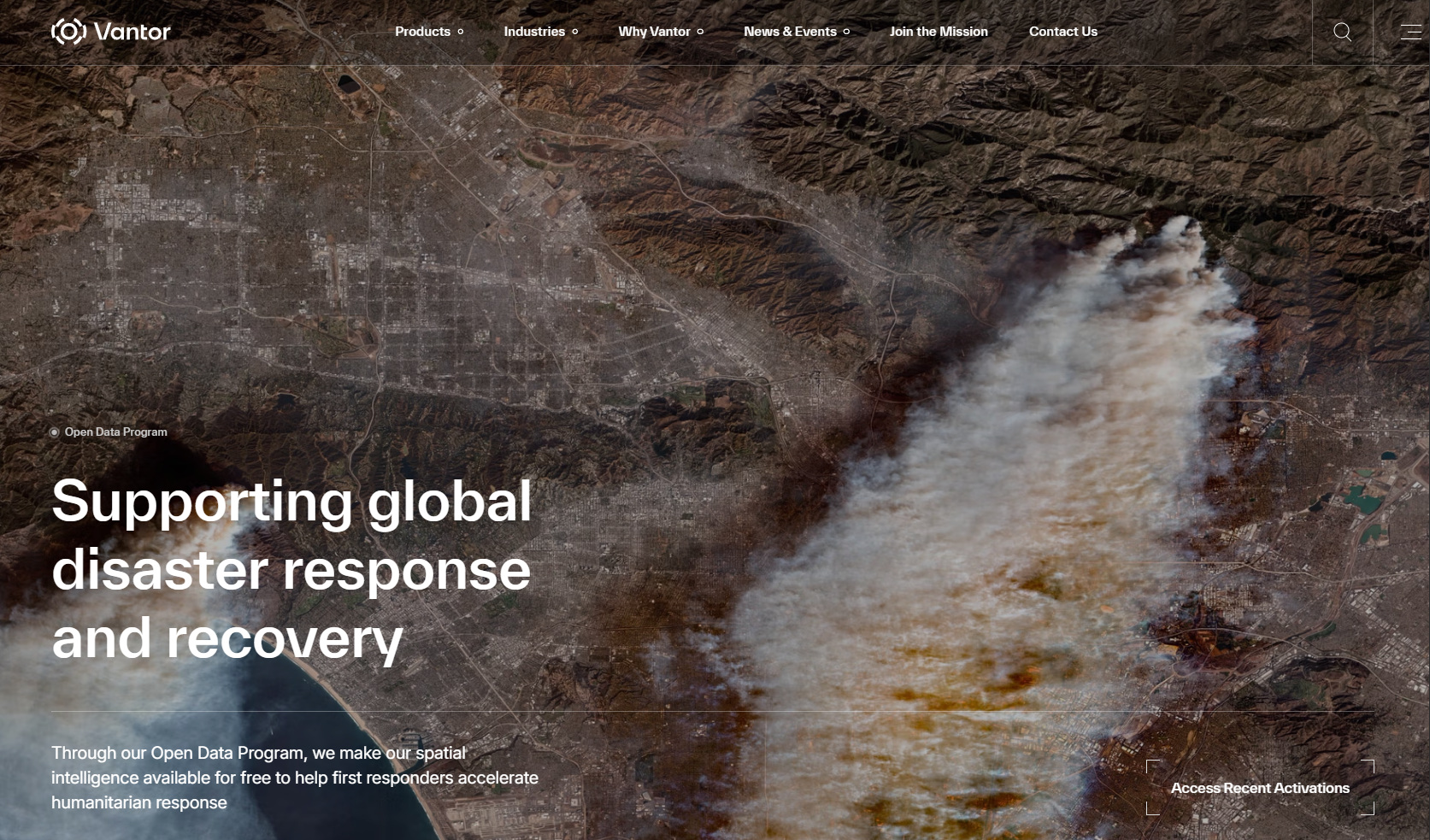
Maxar, now Vantor, is a name very well known in the satellite imagery world. They operate some of the worlds highest resolution commercial earth observation satellites. However, if you want to purchase these images from them you can be hit with complicated licensing which makes everything much more difficult to share. It’s a headache…
Luckily, Vantor does have an open data program under a CC-BY-NC-4.0 license. The imagery datasets are largely limited to disaster response scenarios such as earthquakes, floods, landslide, hurricanes, etc.
You can access the open data page here: https://vantor.com/company/open-data-program/
You can also directly link it via the AWS Open Data page: https://registry.opendata.aws/maxar-open-data/
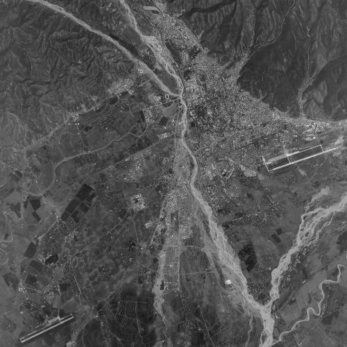
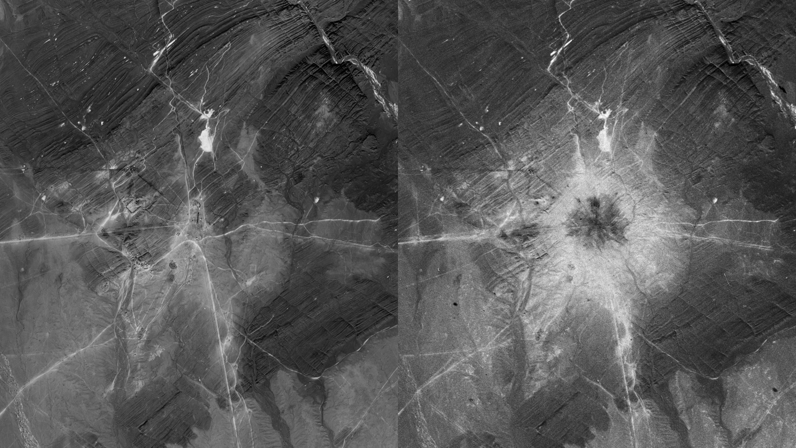
Umbra Space
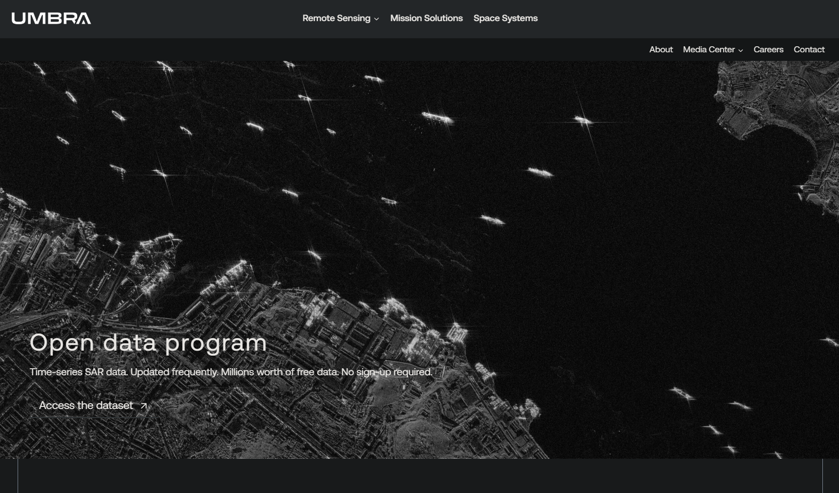
Since the first launch of an Umbra synthetic aperture radar (SAR) satellite in 2021, Umbra has become a well known and respected player in the earth observation world. Largely due to its relaxed and open nature. This includes its incredible open data program which now includes over 1,000 locations with resolutions up to 25cm, and a wonderful CC-BY-4.0 license.
You can access the open data page here: https://umbra.space/open-data/
You can also directly link it via the AWS Open Data page: https://registry.opendata.aws/umbra-open-data/
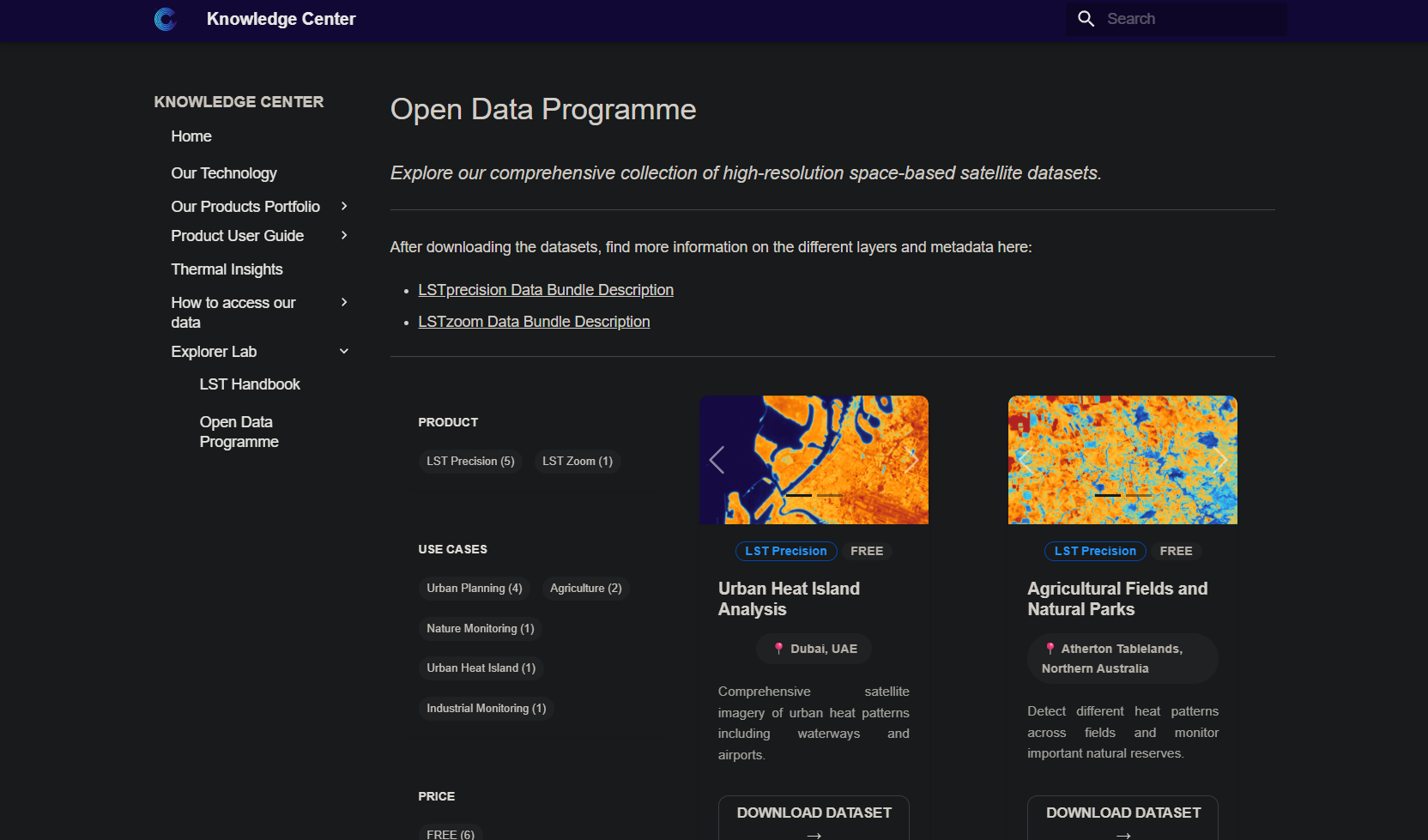
Wyvern
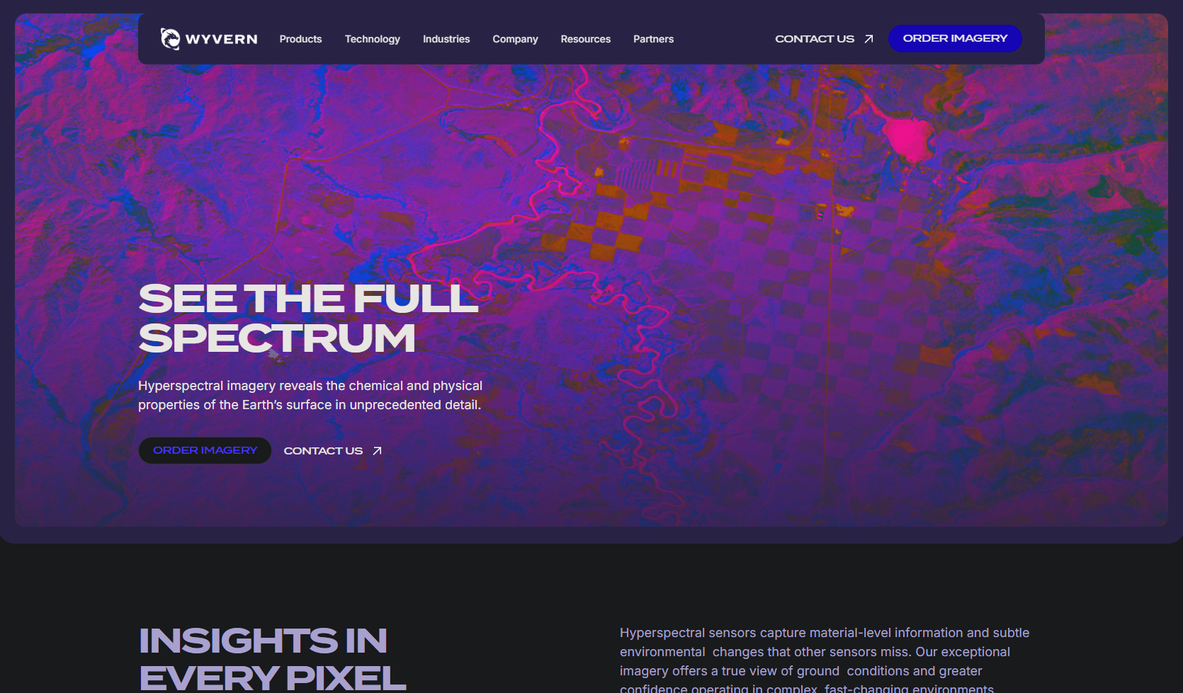
Joining the commercial open data club in 2024, Wyvern has launched five of its hyperspectral satellites so far, with more on the way. The current satellites see in more than 110 bands which allows users to perform in depth analysis of our planet and see beyond what the naked eye can see. All available at a 5.3-meter resolution under a CC BY 4.0 license.
You can access the open data page here: https://opendata.wyvern.space/#/?.language=en
Constellr
Constellr is building a catalogue of land surface temperature monitoring satellite data, allowing users to view and analyse the world in a thermal scope.
You can access the open data page here: https://constellr.github.io/product-lst/example-datasets/
The “open” in Open Data isn’t just about price, it’s about the license. Always check if it’s CC-BY 4.0 (standard attribution) or a more restrictive EULA. For 2026, the trend is clear. More bands (hyperspectral), more transparency (SAR), and better accessibility.
If there’s another great source I missed please let me know and I’ll add it!