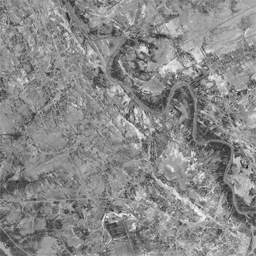
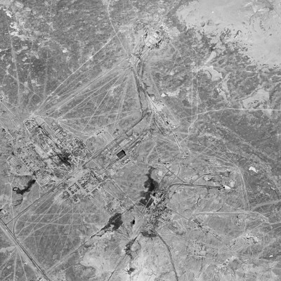
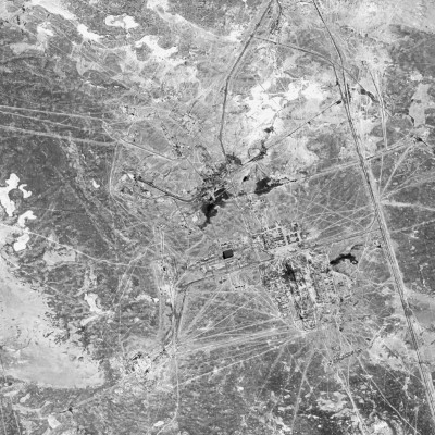
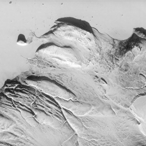
Home
About
Contact
Services
Galleries
Declassified Gallery
Spaceport Gallery
Aerial Gallery
Soar Gallery
Flickr Gallery
More
Blogs
Maps
Resources
Support/Tip
Home
About
Contact
Services
Galleries
Declassified Gallery
Spaceport Gallery
Aerial Gallery
Soar Gallery
Flickr Gallery
More
Blogs
Maps
Resources
Search
Support/Tip
⬅Back to Gallery
Aktobe Region, Kazakhstan
September 26, 1968
Interactive Viewer
(Please note that closer zooms may require several seconds to load)
If the map isn't loading please click here
Click here to scroll to full interactive image
Date:
Satellite
KH-4A
Resolution
2.5m
/pixel
Image ID
DS1048-1119DF006
More information (to USGS EarthExplorer)
Image usage
This section lists reports, articles and other forms of media that cover the shown location and/or where this image may have been used.
3D Model Viewer
(Experimental feature)
More Images
Strait of Hormuz
1964-06-17
KH-5
Harju County, Estonia
1965-04-29
KH-7
New London, Connecticut
1979-09-13
KH-9
Great Bitter Lake, Egypt
1973-08-05
KH-9
Tags:
Declassified
Satellite
KH-4A
CORONA
Kazakhstan
Have an image request?
Back to Gallery
Main Pages
About
Contact
Services
Resources
Blogs
Support/Tip
Social Media
© 2025 SpaceFromSpace
Galleries
Declassified Imagery
Spaceport Gallery
Aerial Imagery
Soar Profile
Flickr Profile