Loading interactive map…
Interactive map view. Drag and scroll to explore the scene, or expand to full screen.
About this satellite image
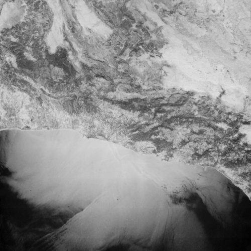
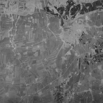
This declassified satellite image of Şanlıurfa & Mardin Provinces, Türkiye was captured on 8 October 1984 by a KH-9 HEXAGON spy satellite, during mission 1219.
Each pixel covers about 93 centimeters on the ground.
The original scene is held by the USGS EarthExplorer archive (entity ID D3C1219-301000F025).
Learn more about the HEXAGON programme on the Satellite Programs page.