Loading interactive map…
Interactive map view. Drag and scroll to explore the scene, or expand to full screen.
About this satellite image
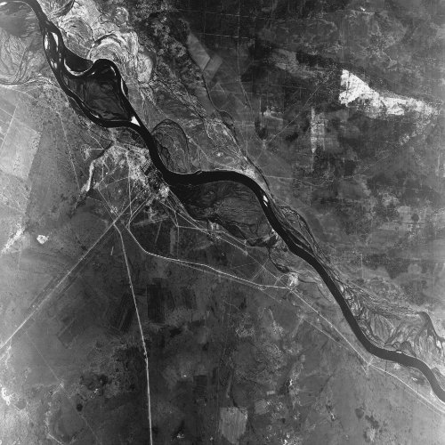
This declassified satellite image of Semipalatinsk Test Site, Kazakhstan was captured on 15 September 1964 by a KH-4A CORONA spy satellite, during mission 1010.
Each pixel covers about 2.6 meters on the ground.
The original scene is held by the USGS EarthExplorer archive (entity ID DS1010-1007DF060).
Learn more about the CORONA programme on the Satellite Programs page.