Loading interactive map…
Interactive map view. Drag and scroll to explore the scene, or expand to full screen.
About this satellite image
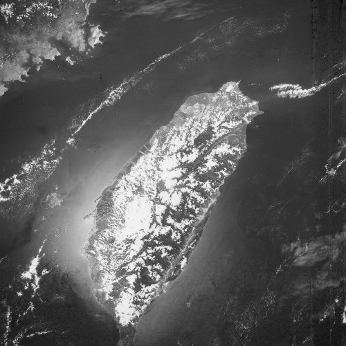
This declassified satellite image shows Taiwan. It was captured on 29 August 1963 by a KH-5 ARGON reconnaissance satellite, as part of mission 9058A.
The ground sample distance listed for this scene is 28 m. That is the size of one pixel on the ground, not the smallest object that can be picked out in the image.
The source scene is held in the USGS EarthExplorer archive under entity ID DS09058A021MC052.
SpaceFromSpace processed and georeferenced this scan so it can be explored on an interactive map.
Learn more about the ARGON programme on the Satellite Programs page.