Loading interactive map…
Interactive map view. Drag and scroll to explore the scene, or expand to full screen.
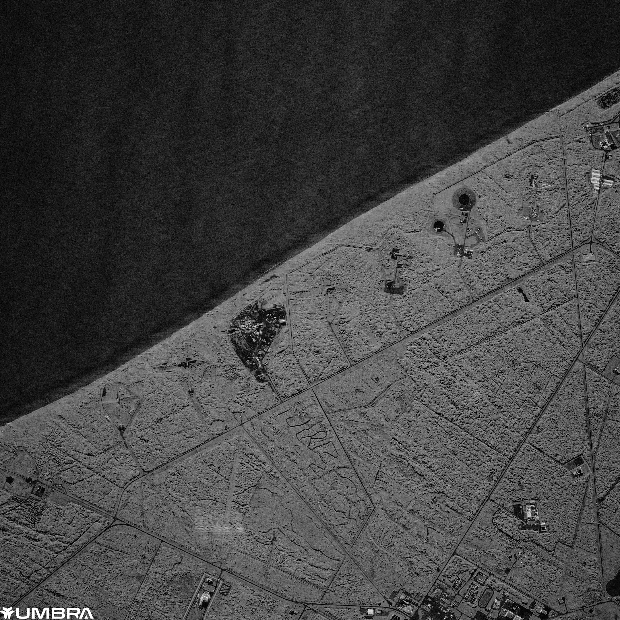
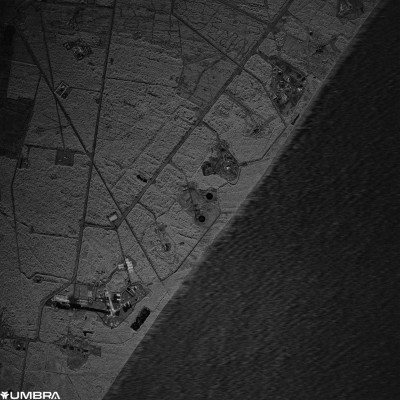
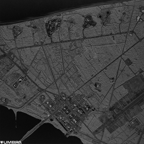
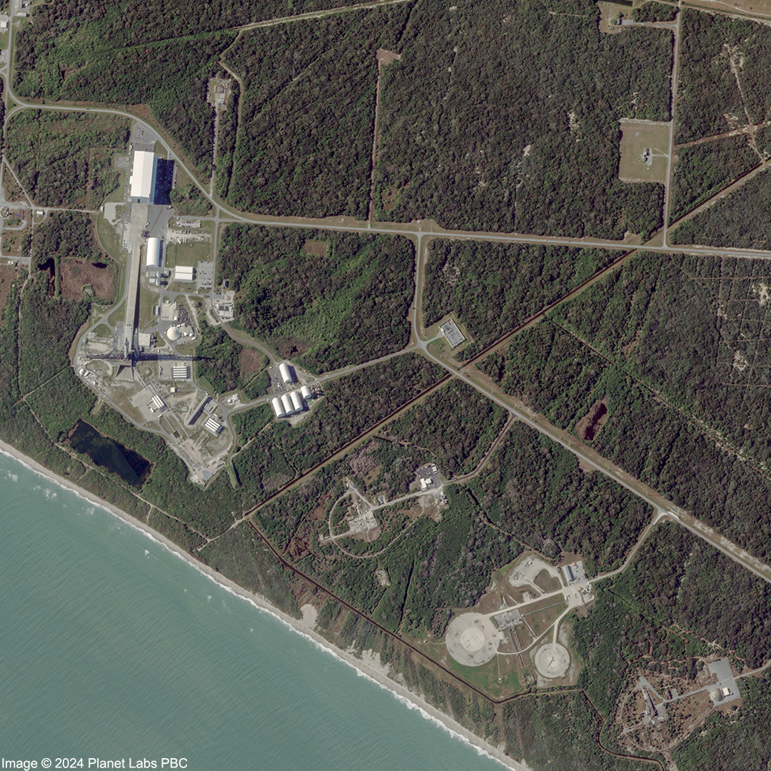
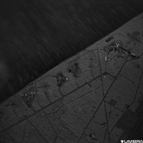
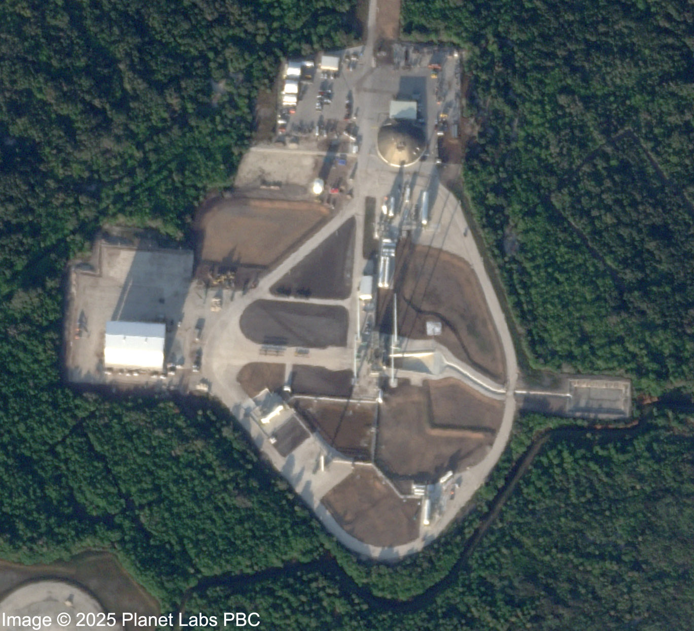
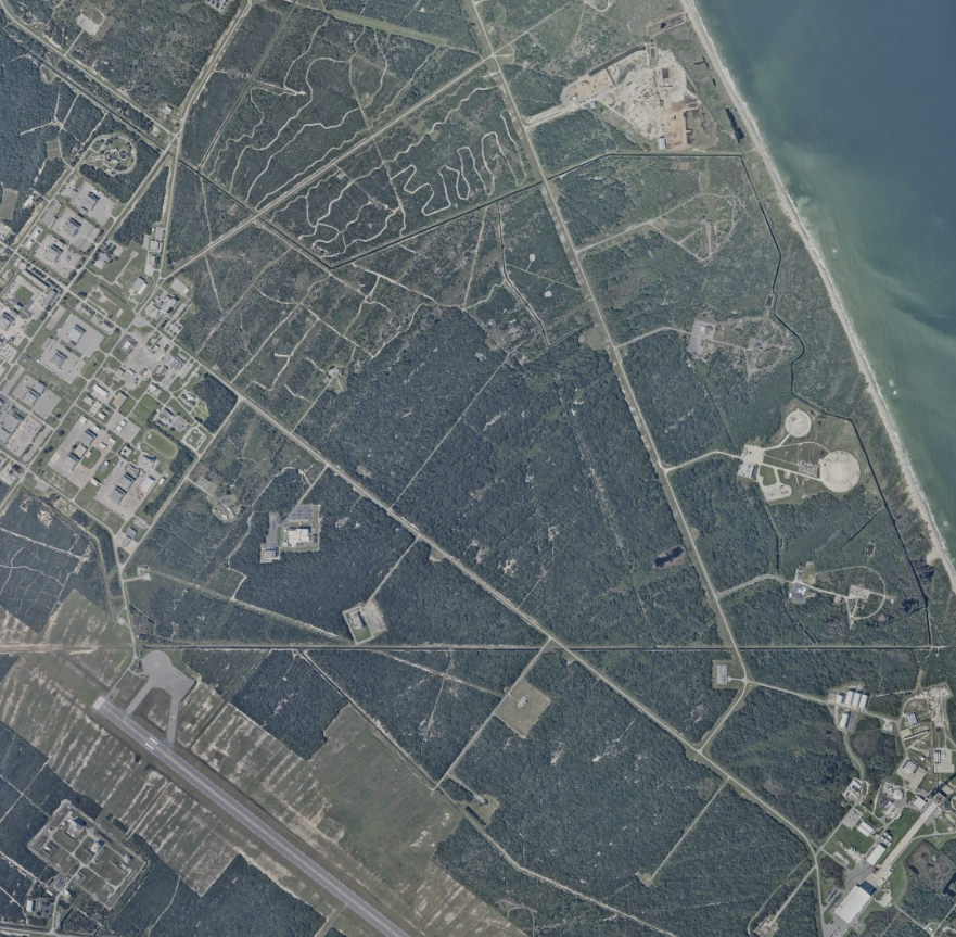
Cape Canaveral
aerial Support SpaceFromSpace Help fund more frequent and high-resolution images like this to share with everyone.
Source: National Oceanic and Atmospheric Administration (NOAA), National Ocean Service (NOS), National Geodetic Survey (NGS), Remote Sensing Division.
For media or commercial use of this imagery, please get in touch.