Loading interactive map…
Interactive map view. Drag and scroll to explore the scene, or expand to full screen.
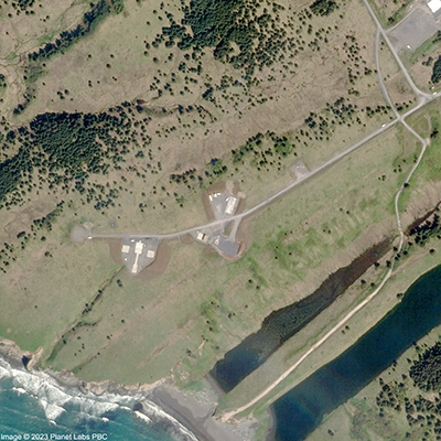
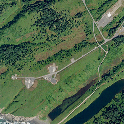
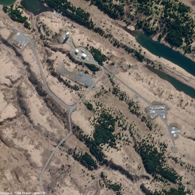
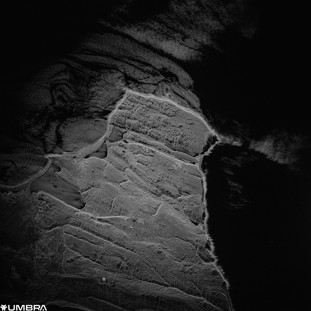
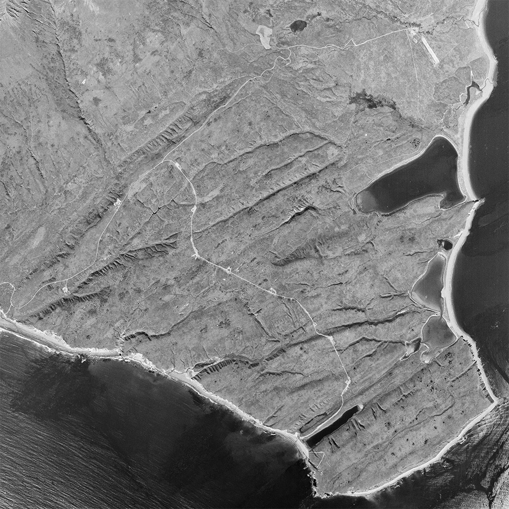
Pacific Spaceport Complex, Alaska
aerialThis aerial imagery of the Pacific Spaceport Complex on Kodiak Island, Alaska, was taken by the U.S. Navy on August 14, 1952 from an altitude of ~21,000 feet.
Support SpaceFromSpace Help fund more frequent and high-resolution images like this to share with everyone.
For media or commercial use of this imagery, please get in touch.